http://blog.geogarage.com/2012/11/vendee-globe-ascension-saint-helena.html
Vendee Globe : Ascension & Saint Helena islands link
>>> geolocalization with the Marine GeoGarage <<<
On 15 November 2012, cloud vortices stretched away from the St Helena island to the west-northwest.
When moving air masses encounter an obstacle such as a volcanic island, the wind flow is disrupted.
Downstream from the obstacle, von Karman vortices form.
These double-row vortices alternate their direction and rotation.
When moving air masses encounter an obstacle such as a volcanic island, the wind flow is disrupted.
Downstream from the obstacle, von Karman vortices form.
These double-row vortices alternate their direction and rotation.
St Helena is a small, rugged volcanic island in the southern Atlantic Ocean.
At its highest point, Mount Actaeon, the island rises 818 meters above sea level – high enough to affect cloud formation.
Located more than 1,100 miles west of Africa, St Helena is as remote as it is rugged.
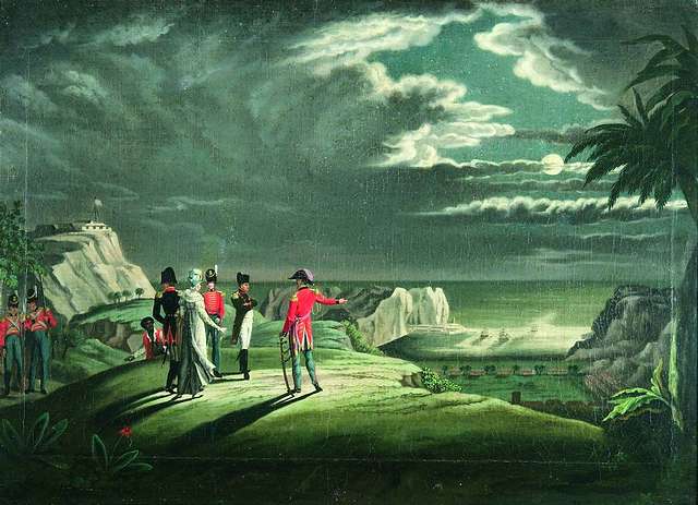
The island was uninhabited when the Portuguese first discovered it in 1502, and became famous centuries later as the final home of Napoleon Bonaparte of France.
Napoleon was exiled there in 1815 and died on the island in 1821
>>> geolocalisation with the Marine GeoGarage <<<
Ascension island pertains to Shuttle support which are to be an Emergency Landing Site and to provide orbital tracking (home of radar 12.15, the only equatorial sensor in the Western Hemisphere)


No comments:
Post a Comment